About me.
I am Patrick Heusser, the main contributor and maintainer of MTL Explorer. I am a professional software developer and architect with more than 20 years of experience.
The starting point.
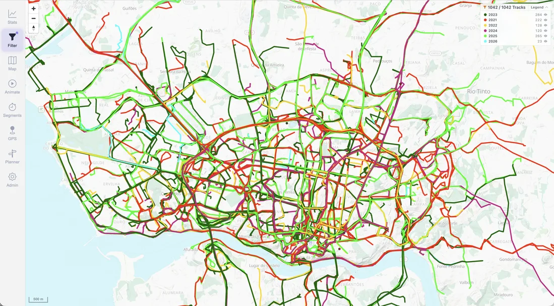
I started MTL Explorer in 2020 after recording many Garmin activities from mountain biking, hiking, cycling, and city visits. I wanted to see the complete history on one map. The available tools I tried did not fit that workflow well once the archive contained thousands of activities.
The first version used a PostgreSQL backend and a simple interface. It solved the basic problem, then became the base for a broader personal exploration tool.
Exploration and repeated routes.
The archive map helps me see where I have already travelled and where gaps remain. Segments provide a personal stopwatch for repeated parts of a route. They make it possible to compare the same climb, road, or trail across different years.
The private GPS heatmap adds another view of the same history by showing where the archive is most concentrated.
Planning in the context of my own history.
There are many route planners, but I wanted planning beside my existing activities. Previous tracks show familiar areas, while route overlays and the planner help identify places I have not visited yet.
Statistics with flexible filters.
I wanted more control over long-term statistics than a fixed dashboard provided. MTL Explorer therefore uses the same active selection across the map, statistics, heatmap, related tracks, and segment analysis. SQL-backed filters support more specific groupings when the built-in choices are not enough.
Importing the archive.
The application accepts GPX, FIT, and other GPS formats. Optional Garmin Connect import can bring new activities into the same local processing flow.
How the project is developed.
Large parts of the original application were written by hand. More recent AI tools have assisted with parts of the frontend and user experience. I still supervise, review, test, and shape the work. The project remains driven by practical use of my own archive.
Why it is public.
MTL Explorer grew from a personal need: keeping a large activity history, seeing it on a map, learning from it, and planning future routes. I made the source available because the same workflow may be useful to other people with long-running GPS archives.